

Cyclone Akvan to Hit Andhra Pradesh on November 20; Odisha on Alert for Heavy Rain and Strong Winds
Bhubaneswar, Nov 18 (UDN): Cyclone Akvan is expected to intensify into a very severe cyclonic storm before making landfall along the Andhra Pradesh coast on November 20, bringing the threat of powerful winds and torrential rainfall to coastal and southern districts. While Andhra Pradesh is likely to bear the brunt of the storm, parts of Odisha are also on alert for heavy to very heavy rainfall, gusty winds and possible flooding.
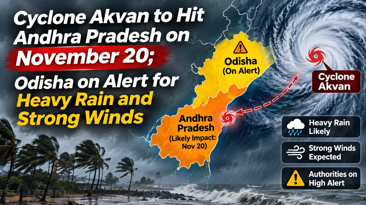
Representational Image
According to the India Meteorological Department (IMD), the cyclone is likely to cross the Andhra Pradesh coast between Nellore and Tuni around noon on November 20. Wind speeds during landfall could reach 120–130 kmph, with gusts of up to 145 kmph.
The weather system is expected to intensify into a severe cyclonic storm by Tuesday night, November 17, with wind speeds of around 90 kmph. It may further strengthen into a very severe cyclonic storm on November 19 before approaching the coast.
Southern Odisha likely to face maximum impact
Although Odisha is not expected to experience the cyclone’s full intensity, its southern districts could face adverse weather conditions as the system moves close to the Odisha-Andhra Pradesh border.
IMD forecasts suggest that Malkangiri, particularly the Motu region, could experience strong winds of around 70 kmph when the cyclone makes landfall near Visakhapatnam. Heavy rainfall is also likely across several districts, raising concerns over waterlogging, flash floods and landslides.
On November 19, heavy to very heavy rainfall is likely in Kendrapara, Jagatsinghpur, Gajapati, Ganjam and Puri. Several other districts, including Balasore, Bhadrak, Jajpur, Cuttack, Angul, Dhenkanal, Keonjhar, Mayurbhanj, Boudh, Kandhamal, Rayagada, Koraput, Malkangiri, Khordha and Nayagarh, may also receive heavy rainfall.
On November 20, southern Odisha is likely to witness heavy showers. The rainfall activity may subsequently extend to Sundargarh, Jharsuguda, Bargarh, Nuapada, Nabarangpur and Koraput on November 21.
Experts differ over cyclone’s intensity
Meanwhile, weather experts have offered differing assessments regarding the cyclone’s movement and its likely impact on Odisha.
Dr Sarat Sahu of the SOA Centre for Climate and Weather has suggested that the system may weaken considerably after making landfall. According to his assessment, Odisha could experience wind speeds of around 70–80 kmph, accompanied by light to moderate rainfall.
Another agricultural meteorology expert has projected a possible landfall between Kalingapatnam and Srikakulam, or between Baruva and Gopalpur, on the morning of November 20. Under this assessment, wind speeds could reach approximately 74 kmph, with the system likely to weaken into a depression near Rayagada by evening.
Flooding and landslide concerns
The possibility of continuous rainfall over several days has raised concerns about flooding in low-lying areas, overflowing water bodies and landslides in vulnerable hilly regions, particularly across southern Odisha.
With forecasts indicating differences in the cyclone’s projected track and intensity, the situation remains under close observation. Residents in vulnerable districts are advised to follow official IMD bulletins and local administration advisories, avoid unnecessary travel during severe weather and remain prepared for possible disruptions.
Although Andhra Pradesh is expected to face the most intense impact of Cyclone Akvan, Odisha cannot afford to lower its guard, especially as southern districts remain exposed to strong winds and prolonged rainfall.